Cambridge infrastructure updates, historic bridge maintenance, utility repairs, and urban transit expansion project schedules create frequent traffic disruptions across major thoroughfares, forcing local commuters to seek alternative travel corridors, updated transit schedules, and strategic detour routes daily.
- How Do You Navigate Construction Closures Around Central Square and Massachusetts Avenue?
- What Are the Best Alternative Driving Routes Across the Charles River to Boston?
- How Can Commuters Use Public Transit to Bypass Cambridge Road Closures?
- What Cycling and Pedestrian Routes Bypass Major Construction Zones in Cambridge?
- How Do Route Planning Apps and Real-Time Data Help Avoid Cambridge Delay Spots?
- What is the best alternative route when Massachusetts Avenue is closed in Central Square?
- How can I check active road closures in Cambridge before driving?
- Are MBTA buses delayed by Cambridge road construction?
- What is the safest bicycle route across Cambridge during major construction?
- Where can suburban commuters park to avoid driving into Cambridge construction areas?
The City of Cambridge features a dense, historic road layout originally designed long before modern vehicular traffic patterns emerged. Municipal departments regularly schedule road maintenance, utility upgrades, sewer replacements, and private building development projects throughout high-density districts.
Major corridors like Massachusetts Avenue, Grand Junction Rail Line intersections, and the arterial routes leading toward Boston experience routine lane reductions. Environmental resilience projects, including stormwater management installations, require extensive street excavation work that lasts for multiple months.
Structural repairs on historic bridges crossing the Charles River create significant regional traffic bottlenecks. The River Street Bridge, Western Avenue Bridge, and Longfellow Bridge undergo periodic preservation and modernization work to meet safety standards.
Bridge construction restricts vehicle capacity, redirects municipal bus lines, and shifts regional commuter behavior across eastern Massachusetts. State agencies collaborate with local planners to manage traffic flows, yet urban density limits the availability of immediate bypass routes during peak travel hours.
Infrastructure modernization efforts also focus on expanding multi-modal transportation options. The city constructs separated bicycle lanes, bus priority lanes, and pedestrian safety features under its active transit plans.
Transforming existing roadway capacity into dedicated bus and transit lanes temporarily restricts single-occupancy vehicle flow during construction phases. Long-term spatial reorganization aims to reduce overall car dependency while modernizing aged underground utilities beneath primary arterial roads.
How Do You Navigate Construction Closures Around Central Square and Massachusetts Avenue?
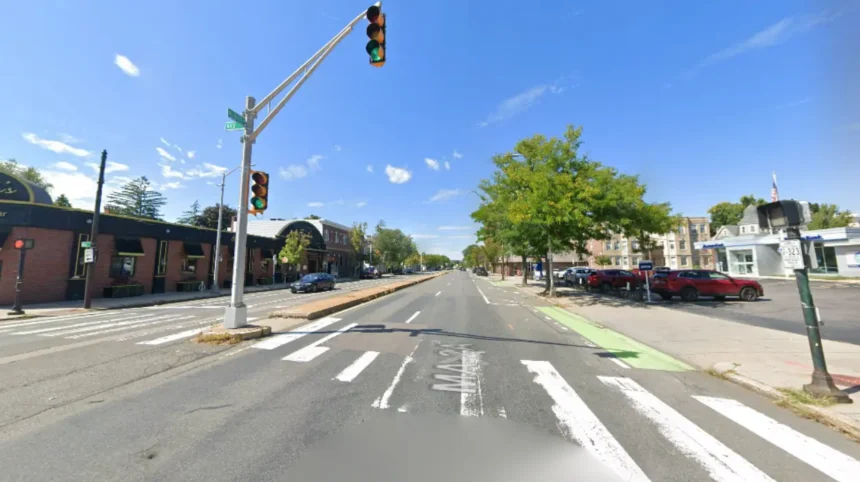
Navigating Central Square construction requires bypassing Massachusetts Avenue via Memorial Drive, Prospect Street, or Harvard Street detours, utilizing secondary neighborhood connector roads, monitoring real-time transit apps, and leveraging public transit options during peak congestion periods.
Central Square operates as the primary commercial and transport hub of Cambridge, intersecting Massachusetts Avenue, Prospect Street, and Western Avenue. Municipal utility work and streetscape improvement projects frequently reduce Massachusetts Avenue down to single lanes.
Drivers traveling northbound from Boston should divert onto Memorial Drive early to bypass Central Square bottlenecks completely. Westbound traffic can utilize Harvard Street or Broadway as secondary east-west collector corridors to navigate around heavy construction zones smoothly.
Commuters moving south toward the Charles River can utilize Prospect Street to access River Street or Western Avenue detours. Temporary traffic signal adjustments help manage diverted traffic volumes along these secondary arterial corridors.
Delivery vehicles and ride-share operators must utilize designated loading zones on side streets like Bishop Allen Drive to prevent further corridor blocking. Navigating neighborhood streets requires adherence to modified speed limits and turn restrictions designed to preserve resident safety.
Public transportation provides a reliable alternative when Central Square roadways experience severe structural delays. The Massachusetts Bay Transportation Authority Red Line subway services Central Square Station directly, bypassing all surface-level vehicle congestion.
Local bus routes 1, 64, 70, and 83 adjust routing dynamically during major street closures, transferring passengers efficiently across construction zones. Cyclists can utilize parallel dedicated bike lanes along Harvard Street and Hampshire Street to maintain steady travel speeds.
What Are the Best Alternative Driving Routes Across the Charles River to Boston?
Crossing the Charles River during construction requires utilizing the historic Memorial Drive arterial corridor, the Boston University Bridge, the Harvard Bridge along Massachusetts Avenue, or routing eastward via the Leverett Circle connector and Zakim Bridge system.
Vehicular traffic moving between Cambridge and Boston relies on a limited network of historic bridges subject to continuous maintenance schedules. When the River Street Bridge or Western Avenue Bridge undergoes repairs, drivers should re-route eastward toward the Harvard Bridge or westward toward the Anderson Memorial Bridge near Harvard Square.
Memorial Drive acts as the primary East-West feeder road running parallel to the river, enabling drivers to select open bridge crossings dynamically based on live traffic updates.
The Boston University Bridge connects Cambridgeport directly to South Boston and the Fenway area, serving as a critical alternative during Central Square disruptions. Drivers utilizing this crossing must navigate complex rotary systems at the junction of Brookline Street, Waverly Street, and Henry Street.
During peak morning commute hours, taking Soldiers Field Road on the south bank provides an effective bypass around localized Cambridge congestion spots. Route 2 and Storrow Drive offer continuous riverway movement when arterial city streets experience total gridlock.
Eastern commuting routes leverage the Craigie Bridge near the Museum of Science or the Leverett Circle connector to access Interstate 93. Commercial vehicles and long-distance commuters benefit from using these larger highway structures rather than inner-city bridge crossings.
Regional planning authorities coordinate signal timing along Commercial Avenue and Edwin H. Land Boulevard to process vehicle queues approaching eastern river crossings. Selecting appropriate river bridges based on real-time construction data prevents extended idling and reduces urban vehicular emissions.
How Can Commuters Use Public Transit to Bypass Cambridge Road Closures?
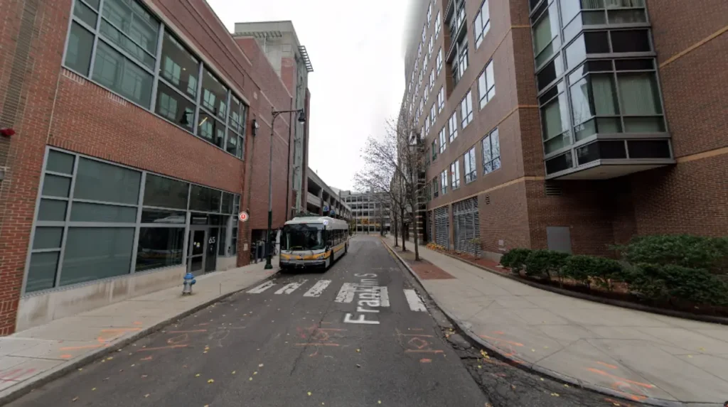
Commuters can bypass surface traffic by riding the MBTA Red Line subway, utilizing express commuter rail links from Porter Square, riding high-frequency bus lines, and connecting through park-and-ride facilities located along suburban highway boundaries.
The Massachusetts Bay Transportation Authority provides a comprehensive rail network operating entirely separate from surface street gridlock. The MBTA Red Line features critical stations at Kendall/MIT, Central, Harvard, and Porter Square, allowing passengers to travel across Cambridge in minutes. Underground subway service eliminates transit delays caused by lane closures, utility excavations, and bridge construction projects. Commuters entering from northern suburbs can park at the Alewife station garage and complete their journey via subway trains.
The MBTA Commuter Rail Fitchburg Line stops directly at Porter Square Station, establishing a rapid overland transit connection between north-western suburbs and downtown Boston.
Commuters riding from Fitchburg, Acton, Concord, and Waltham bypass regional highway construction entirely by transferring to local subway networks at Porter Square. Integrated ticketing systems enable smooth transfers between commuter rail cars, Red Line trains, and regional bus networks operating across the municipality.
Bus transit infrastructure in Cambridge features dedicated bus lanes along major routes like Mount Auburn Street and Massachusetts Avenue. Priority signal technology allows municipal buses to move through intersections ahead of general vehicular traffic during construction delays.
Bus routes 71, 73, and 77 transport thousands of daily commuters from Watertown, Belmont, and Arlington directly to Harvard Station. Utilizing public transit reduces overall vehicle volumes on detour routes, improving travel efficiency for all commuters.
What Cycling and Pedestrian Routes Bypass Major Construction Zones in Cambridge?
Cyclists and pedestrians can bypass vehicle closures using the Charles River Bike Paths, the Linear Park corridor, separated cycle tracks on Hampshire Street, and dedicated off-street multi-use paths connecting residential neighborhoods.
Cambridge maintains an extensive network of off-street multi-use paths designed to isolate non-motorized commuters from vehicular traffic disruptions. The Paul Dudley White Bicycle Path extends along both banks of the Charles River, providing a continuous, grade-separated route for cyclists and walkers.
This riverside path bypasses major surface construction zones along Memorial Drive, Massachusetts Avenue, and Central Square. Pedestrians can cross the river safely using footbridges such as the Weeks Footbridge near Harvard University.
The Somerville Community Path and Cambridge Linear Park form a continuous greenway linking Alewife Station through Davis Square to inner city districts. This dedicated corridor allows cyclists from northern suburbs to bypass heavy construction on Route 2 and Massachusetts Avenue entirely.
Separated cycle tracks along Hampshire Street, Cambridge Street, and Western Avenue feature physical barriers protecting cyclists from diverted vehicle traffic. Municipal bike-share programs, including Bluebikes, provide hundreds of rental locations near key path intersections.
Pedestrian safety infrastructure includes temporary covered walkways, clear detour signage, and accessible ramps installed around active construction sites. Municipal regulations require developers to maintain safe, continuous pedestrian corridors during building construction and sidewalk maintenance.
Raised crosswalks, traffic-calming street designs, and prioritized pedestrian signals at major intersections ensure safe foot travel across high-density detour corridors. Non-motorized commuting provides predictable, delay-free travel times regardless of vehicular road conditions.
How Do Route Planning Apps and Real-Time Data Help Avoid Cambridge Delay Spots?
Route planning tools utilize real-time GPS tracking, crowdsourced traffic data, municipal road closure feeds, and predictive algorithmic routing to guide drivers around active Cambridge construction zones, accident sites, and bridge detours.
Modern navigation applications like Waze, Google Maps, and Apple Maps ingest real-time geospatial data to calculate optimal driving routes dynamically. These digital systems monitor vehicle travel speeds across Cambridge streets, detecting traffic slowdowns caused by sudden road closures instantly.
When construction restricts a primary route like Prospect Street, the algorithms automatically divert drivers onto clear secondary streets. Real-time re-routing minimizes total transit times and prevents traffic bottlenecks from overwhelming single neighborhood corridors.
The City of Cambridge publishes open-data feeds detailing scheduled public works projects, street closures, and special event permits. Navigation service providers integrate these municipal datasets to update digital maps before construction crews block lanes physically.
Commuters can view planned roadwork schedules on municipal portals to adjust their departure times or select alternative travel modes in advance. Information transparency allows regional commuters to prepare for multi-month infrastructure projects effectively.
Public transit riders rely on real-time tracking applications like Transit and the MBTA Performance Dashboard for precise vehicle arrival predictions. GPS transponders installed on buses and trains broadcast exact vehicle locations to mobile devices continuously.
Riders track detour paths taken by buses during emergency utility repairs, ensuring accurate arrival estimates. Combining real-time transit data with digital routing tools enables commuters to switch between driving, walking, and riding seamlessly based on current traffic conditions.
What is the best alternative route when Massachusetts Avenue is closed in Central Square?
Drivers should utilize Memorial Drive for long-distance east-west travel around Central Square. Local drivers can use Harvard Street westbound or Broadway eastbound as secondary collector roads to bypass construction delays safely.
How can I check active road closures in Cambridge before driving?
Commuters can access the official City of Cambridge Traffic Department portal or use real-time GPS navigation applications. These platforms publish updated construction schedules, street closure maps, and municipal detour announcements continuously.
Are MBTA buses delayed by Cambridge road construction?
MBTA buses can experience delays in general traffic zones, but dedicated bus priority lanes along corridors like Mount Auburn Street help maintain schedules. Transit apps display real-time bus locations and active route detours.
What is the safest bicycle route across Cambridge during major construction?
The Paul Dudley White Bicycle Path along the Charles River provides a continuous, vehicle-free route for cyclists. Hampshire Street and Cambridge Street also offer dedicated, physically separated cycle tracks bypassing major roadwork zones.
Where can suburban commuters park to avoid driving into Cambridge construction areas?
Suburban commuters can park at the Alewife Station parking garage located off Route 2. From Alewife, commuters can take the MBTA Red Line subway directly into Harvard, Central, and Kendall Squares without encountering surface traffic.