
New Cambridge transport plans affect Arbury residents by reshaping local road access, expanding active travel infrastructure, and modifying bus routes to reduce vehicular congestion. These strategic initiatives aim to minimize private car reliance while improving public transit connectivity across northern Cambridge.
- What historical context shaped the current infrastructure policies in the Arbury ward?
- What are the main components of the Greater Cambridge transport infrastructure frameworks?
- How do active travel initiatives and bus priority schemes operate on local roads?
- What real-world examples illustrate the spatial impacts on Arbury street networks?
- What statistical data supports the implementation of sustainable travel policies in Cambridge?
- How do these transport developments influence local economics, property values, and future urban growth?
- How will bus route changes in Arbury affect daily journey times to the city center?
- Are Arbury residents exempt from proposed regional traffic charges or vehicle restrictions?
- Where can Arbury residents apply for Controlled Parking Zone permits?
- How do Dutch-style roundabouts on Milton Road protect cyclists and pedestrians?
- Will active travel plans reduce customer access to shops at Arbury Court?
The administrative region of Greater Cambridge has experienced rapid economic expansion, leading local authorities to implement long-term infrastructural frameworks. The Greater Cambridge Partnership, alongside the Cambridgeshire and Peterborough Combined Authority, manages regional highways and public transport networks.
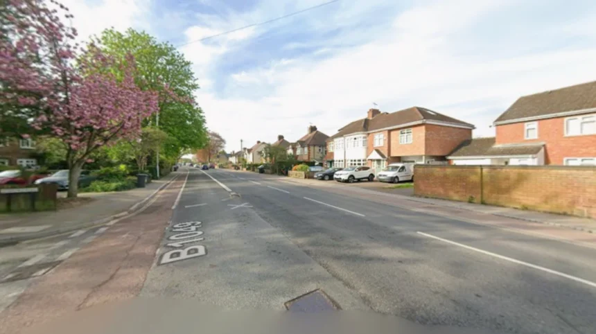
Arbury is an established residential ward situated in the northern sector of Cambridge City, located directly between major transport conduits such as the A1198 corridor, Milton Road, and Kings Hedges Road.
Historical traffic data indicates that peak-hour vehicle volumes on these boundary roads have steadily increased over the past decade, causing severe localized congestion for neighborhood commuters. Transport planners have introduced structural policies to redistribute vehicle movements, prioritize zero-emission transit options, and establish dedicated active travel corridors.
Consequently, residents navigating Arbury experience altered street layouts, modal filters that restrict short-distance car journeys, and redesigned signalized junctions intended to streamline bus operations.
The overarching objective of these transport measures is to mitigate atmospheric pollution, improve public health outcomes, and sustain urban growth. For Arbury householders, these adjustments mean that short internal trips by automobile are increasingly disincentivized in favor of walking, cycling, or public transport.
Commuters traveling toward the Cambridge Railway Station or the historic City Centre face revised directional routes due to traffic management schemes on Histon Road and Arbury Road. While these measures decrease total motor traffic on residential side streets, they alter established driving habits for surrounding households.
What historical context shaped the current infrastructure policies in the Arbury ward?
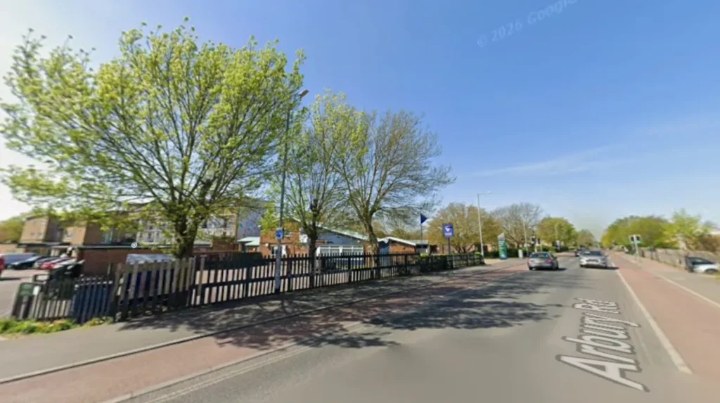
The infrastructure policies in Arbury stems from mid-twentieth-century urban housing expansions that prioritized private automobile usage over integrated mass public transit networks. Modern planning frameworks systematically resolve those legacy traffic bottlenecks by reallocating existing carriageway space to active travel.
Arbury was primarily developed during the 1950s and 1960s to address post-war housing demands within the local authority boundaries of Cambridge City Council. The layout featured low-density residential estates, cul-de-sacs, and distributor roads designed to handle modest volumes of private motor vehicles.
As the surrounding geography evolved into a global technology hub, arterial highways like the A14 trunk road and the Cambridge Northern Bypass were constructed to accommodate cross-county freight and long-distance passenger transit. However, Arbury remained a direct thoroughfare for drivers moving between the northern suburban perimeter and the historic central core.
Over subsequent decades, traffic volumes surpassed the physical carrying capacity of key junctions, such as the intersection of Arbury Road, Carlton Way, and Kings Hedges Road. The Greater Cambridge City Deal, signed in 2014, established a formal financial mechanism to modernize regional infrastructure and tackle severe gridlock.
Authorities recognized that expanding physical road space for private cars was spatially impossible without demolishing existing residential property. Therefore, transport strategies shifted toward demand management, spatial reallocation of carriageways, and high-frequency bus corridors. Today, Arbury represents a critical test site for retrofitting modern sustainable transit policies onto traditional mid-century residential environments.
What are the main components of the Greater Cambridge transport infrastructure frameworks?
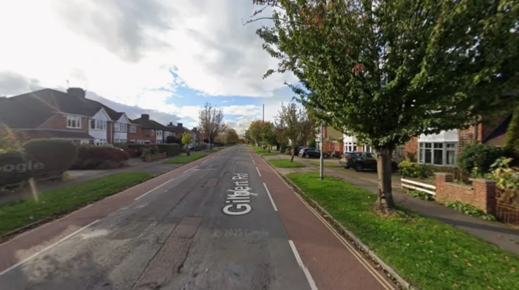
The main components of the transport framework include bus network expansion, active travel corridors, traffic restriction mechanisms, and targeted parking controls. These combined interventions create an integrated transit system that prioritizes public transport efficiency over private vehicular journeys.
The structural foundation of regional transport policy relies on several interconnected operational elements designed by the local transport authority. Bus network enhancements form the primary public transit component, utilizing franchised service models to deliver frequent, low-emission bus routes along major urban arteries like Milton Road and Chesterton Road.
Active travel corridors represent the secondary physical component, featuring fully segregated cycle tracks and widened pedestrian footways constructed according to national Local Transport Note 1/20 standards.
Traffic management mechanisms constitute the third component, employing electronic bus gates, modal filters, and localized speed reductions to curb rat-running through residential streets. The fourth component involves Controlled Parking Zones designed to restrict unauthorized non-resident parking near high-density commercial hubs. Together, these components alter how road space is distributed across the northern wards of Cambridge.
Within Arbury, these components manifest as physical modifications to public rights of way. Bus priority signals at critical intersections allow public conveyances to bypass queueing traffic during peak morning and evening hours. Continuous footways across side-street junctions prioritize pedestrians, requiring turning motorists to yield to non-motorized road users.
How do active travel initiatives and bus priority schemes operate on local roads?
Active travel initiatives and bus priority schemes operate by physically separating bicycles and pedestrians from vehicular traffic while using automated signal prioritization to grant buses uninterrupted passage through congested residential junctions.
The operational mechanism of active travel networks relies on absolute physical segregation between light mobility options and heavy motor vehicles. On primary arterial boundaries around Arbury, contractor crews have installed raised kerbs that isolate two-way cycle tracks from general traffic lanes. Priority lighting systems utilize radar sensors and induction loops embedded beneath the road surface to detect approaching cyclists, automatically extending green signals at controlled crossings.
Bus priority mechanisms function via automatic vehicle location technology linked directly to central traffic control systems. As a public bus approaches a signalized junction on Histon Road or Milton Road, onboard transponders transmit real-time location data to local traffic signal controllers.
The controller either prolongs the active green phase or abbreviates the opposing red phase to permit the bus passage without delay. Modal filters use physical bollards or automatic number plate recognition cameras to prevent non-exempt motor vehicles from accessing specific residential lanes, keeping local streets quiet and safe for non-motorized travel.
What real-world examples illustrate the spatial impacts on Arbury street networks?
Real-world examples include the Milton Road corridor upgrade, the Histon Road active travel redesign, and the introduction of Controlled Parking Zones along residential streets like Carlton Way.
A prominent example of structural modification is the completed Histon Road improvement project, located directly on the western edge of Arbury. This project removed traditional on-street parking lanes to build segregated cycle paths, floating bus stops, and dedicated signal junctions. Data collected post-implementation shows improved bus journey reliability along the corridor alongside higher bicycle counts during peak travel hours.
Another example is the Milton Road redevelopment project situated along Arbury’s eastern boundary. The scheme introduced Dutch-style roundabouts that give cyclists and pedestrians clear legal priority over turning motor vehicles. Additionally, several residential streets within central Arbury have seen trial Controlled Parking Zones to deter non-resident commuters working at nearby employment hubs like the Cambridge Science Park from occupying neighborhood street parking.
What statistical data supports the implementation of sustainable travel policies in Cambridge?
Statistical data reveals that Greater Cambridge traffic volumes grew significantly over past decades, while air quality monitoring identified nitrogen dioxide levels exceeding health targets along major arterial roads.
Department for Transport traffic counts indicate that vehicle miles driven across Cambridgeshire increased by over fifteen percent between 2010 and 2019, leading to severe network delays.
Environmental monitoring data gathered by Cambridge City Council highlighted that annual mean nitrogen dioxide concentrations along congested transport corridors regularly surpassed national air quality objective limits of forty micrograms per cubic meter. Public health assessments conducted by Public Health England linked local fine particulate matter emissions directly to elevated rates of cardiovascular and respiratory illnesses among urban residents.
Public transport surveys conducted before recent scheme implementations showed that over sixty percent of morning peak journeys originating in suburban locations involved single-occupancy private cars. In contrast, modal shift modeling produced by transport consultants demonstrated that upgrading bus infrastructure and expanding cycling networks could redirect thirty to forty percent of short-distance car journeys onto public or active transit.
These statistical models provided the empirical foundation for local decision-makers to approve substantial infrastructural investments across northern Cambridge.
How do these transport developments influence local economics, property values, and future urban growth?
These transport developments influence local economics by improving access to employment hubs, enhancing residential property attractiveness near high-quality cycle routes, and directing long-term commercial growth toward sustainable transit nodes.
Infrastructural alterations within Arbury have direct financial and structural implications for property owners, local businesses, and regional planners. Enhanced connectivity to major employment centers like the Cambridge Science Park, St John’s Innovation Centre, and the Cambridge Biomedical Campus increases the residential appeal of northern suburbs. Residential properties positioned along high-quality active travel routes often command higher market interest due to reduced transit costs and easier access to central urban amenities.
For small commercial enterprises located along local shopping parades like Arbury Court, improved pedestrian infrastructure promotes foot traffic from surrounding neighborhoods. Conversely, restrictions on immediate curb-side parking require local shops to adapt their logistics and delivery mechanisms.
From an urban planning perspective, these schemes establish a framework for future residential infill developments, ensuring that upcoming housing projects like Darwin Green integrate seamlessly into high-capacity public transport and cycling networks.
How will bus route changes in Arbury affect daily journey times to the city center?
Bus route changes are designed to improve journey reliability by introducing dedicated bus priority lanes and signal prioritization along key routes. While some stops may be relocated, overall travel times during peak morning hours are expected to drop due to buses bypassing general vehicular congestion.
Are Arbury residents exempt from proposed regional traffic charges or vehicle restrictions?
Exemption policies depend on specific scheme guidelines published by local authorities. Most regional proposals include specific discounts or exemptions for Blue Badge holders, emergency vehicles, and lower-income households, but standard passenger cars owned by residents generally remain subject to active zone rules.
Where can Arbury residents apply for Controlled Parking Zone permits?
Residents can apply for parking permits directly through the Cambridgeshire County Council or Cambridge City Council online portals. Proof of residency and vehicle registration documentation are required during the digital application process to secure valid residential parking access.
How do Dutch-style roundabouts on Milton Road protect cyclists and pedestrians?
Dutch-style roundabouts give legal priority to cyclists and pedestrians over turning motor vehicles using a segregated outer ring. Drivers entering or exiting the roundabout must yield at marked crossings, creating a safer environment for non-motorized road users.
Will active travel plans reduce customer access to shops at Arbury Court?
Active travel plans aim to boost local commerce by widening footways and adding secure cycle parking near commercial parades like Arbury Court. While short-term driver parking immediately adjacent to shop fronts may be restricted, pedestrian foot traffic and accessibility for non-car shoppers are increased.