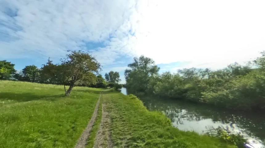
The River Cam is a 40-mile waterway flowing through Cambridgeshire, England, formed by the confluence of the Rhee and Granta rivers. Its quietest sections sit south of the Silver Street weir in Cambridge, stretching upstream toward Grantchester, Trumpington, and Byron’s Pool.
- Why Is Grantchester Meadows Considered the Premier Quiet Escape on the River Cam?
- What Makes Byron’s Pool a Secluded Nature Reserve Along the Upper River Cam?
- How Does Coe Fen Offer Tranquility Right Next to Central Cambridge?
- Where Can Visitors Find Quiet Riverside Trails North of Cambridge Toward Fen Ditton and Baits Bite Lock?
- Which Lesser-Known Villages Along the River Cam Provide Peaceful Day Trips?
- What Wildlife and Plant Species Thrive in the Quietest Habitats of the River Cam?
- When Is the Best Time of Year and Day to Experience Solitude Along the River Cam?
- How Can Visitors Access and Explore the Quietest Spots Along the River Cam Sustainably?
The River Cam drains an area of approximately 803 square kilometers across eastern England before joining the River Great Ouse near Ely. Historically known as the River Granta, the waterway adopted its current name from the Saxon settlement of Grantabrycge, which later evolved into Cambridge.
The Cam Conservancy manages navigation along the river under the River Cam Conservancy Act of 1922, dividing the waterway into distinct upper and lower reaches. While the middle section running through the historic Cambridge college backs attracts over 8 million annual visitors, the upper river above Silver Street remains strictly non-motorized and free from commercial punt tours.
This regulatory boundary creates an immediate acoustic and physical barrier that preserves the rural character of the southern floodplains. Visitors seeking solitude find expansive water meadows, ancient pollarded willows, and uninterrupted walking trails within 2 miles of the city center.
Why Is Grantchester Meadows Considered the Premier Quiet Escape on the River Cam?
Grantchester Meadows is a 100-acre stretch of pastoral floodplain located 1.5 miles south of Cambridge city center. Managed by King’s College, Cambridge, this open green space offers flat riverside footpaths, wildflower habitats, and minimal foot traffic compared to central Cambridge.
Grantchester Meadows forms part of the Green Belt surrounding Cambridge and has remained largely undeveloped since the medieval period. The meadow sits between the western bank of the River Cam and the village of Grantchester, which recorded a population of 552 residents in the 2021 United Kingdom census.
During the early twentieth century, the area served as a gathering place for the Grantchester Group, a literary circle that included poet Rupert Brooke and economist John Maynard Keynes. Today, cattle graze the pastureland between April and October to maintain the lowland neutral grassland ecology.
Swimmers frequently enter the water at designated river bends where depths reach 1.8 meters, while walkers follow the 2-mile footpath linking Newnham to Grantchester village. The absence of paved roads, commercial kiosks, and artificial lighting ensures ambient noise levels remain below 40 decibels throughout the week.
What Makes Byron’s Pool a Secluded Nature Reserve Along the Upper River Cam?
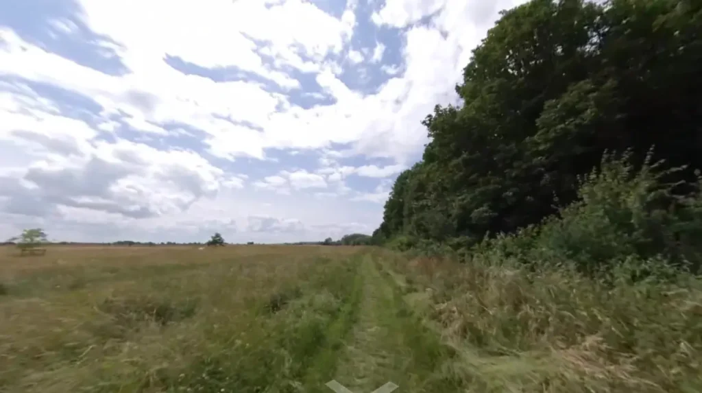
Byron’s Pool is a Local Nature Reserve situated 3 miles south of Cambridge near Trumpington, centered around a historic weir pool. Named after poet Lord Byron, who swam there in 1808, the 4.3-hectare site features dense woodland and rare wetland wildlife.
Cambridge City Council officially designated Byron’s Pool as a Local Nature Reserve in 2005 to protect its mixed deciduous woodland and riparian habitats. The site occupies the former grounds of Trumpington Mill, a watermill documented in the Domesday Book of 1086 that operated until its demolition in the twentieth century.
Today, the concrete weir regulates water levels between the upper River Cam and the mill race, creating oxygenated eddies that support 14 species of freshwater fish, including brown trout, chub, and European eel.
Birdwatchers record over 65 avian species within the reserve, such as kingfishers, grey wagtails, and great spotted woodpeckers.
A wooden boardwalk and compacted gravel paths guide visitors beneath mature ash, alder, and sycamore trees without disturbing sensitive undergrowth. Because parking is limited to a small layby on Grantchester Road, daily visitor numbers stay low even during peak summer weekends.
How Does Coe Fen Offer Tranquility Right Next to Central Cambridge?
Coe Fen is a 17-hectare semi-natural water meadow positioned on the southern edge of central Cambridge between Fen Causeway and Leys School. Protected as a County Wildlife Site, it provides quiet riverside walking paths, grazing Red Poll cattle, and historic drainage channels.
Coe Fen forms a continuous green corridor alongside Sheep’s Green and Lammas Land, covering 37 hectares of interconnected common land managed by Cambridge City Council. The fen sits on alluvial river gravel deposited during the last glacial period, creating a seasonally wet meadow ecosystem fed by natural springs and river overflow.
In 1899, local conservationists prevented urban development across the fen, securing public access rights that remain protected under the Commons Registration Act 1965. Three distinct ecological zones exist within Coe Fen, including wet ditches, reedbeds, and unimproved grassland supporting rare flora such as marsh marigold and ragged robin.
Visitors walk along the eastern bank of the River Cam via a car-free footpath that connects directly to the Fen Causeway bridge. The presence of free-roaming Red Poll cattle from spring through autumn naturally regulates grass height and reinforces the rural atmosphere just 800 meters from King’s Parade.
Where Can Visitors Find Quiet Riverside Trails North of Cambridge Toward Fen Ditton and Baits Bite Lock?
The lower River Cam north of Jesus Green offers 4 miles of peaceful towpaths extending past Chesterton, Fen Ditton, and Baits Bite Lock. Unlike the busy college backs, this wide navigable stretch features open fenland views, rowing clubs, and quiet waterside meadows.
The northern towpath follows the historic right-of-way originally constructed for horses pulling cargo barges between King’s Lynn and Cambridge during the eighteenth century. After passing the Victoria Avenue bridge and Midsummer Common, the river widens to 25 meters as it approaches the historic village of Fen Ditton, which lies 2.5 miles northeast of the city center.
The Ditton Meadows conservation area occupies 22 hectares along the eastern bank, providing unobstructed views across the river valley and hosting annual events such as the Cambridge Town Bumps rowing races in July.
Further downstream, Baits Bite Lock marks the first navigation lock north of Cambridge, featuring a 2.1-meter drop and an adjacent footbridge connecting to Milton Country Park. Cyclists and walkers utilize the Chisholm Trail and the upgraded towpath, which experiences 70 percent less pedestrian congestion than the city center bridges.
Which Lesser-Known Villages Along the River Cam Provide Peaceful Day Trips?

Three quiet villages along the upper and lower River Cam provide serene day trips outside Cambridge: Waterbeach, Horningsea, and Harston. Each settlement features historic parish churches, traditional riverside footpaths, and direct access to uncrowded sections of the waterway.
Waterbeach sits 5 miles north of Cambridge along the lower Cam, originating as a twelfth-century monastic settlement around Denny Abbey, which English Heritage now maintains as a scheduled monument.
Visitors walk 1 mile east from Waterbeach railway station to reach the river embankment, where wide fenland skies and reed-lined banks stretch toward Upware. Horningsea lies directly across the river on the eastern bank, recorded in the Ely Inquisition of 1086 and known for its thirteenth-century Church of St Peter and surrounding orchards.
On the southern tributary known as the River Rhee or Cam, the village of Harston sits 5.5 miles southwest of Cambridge and features an eighteenth-century watermill and quiet meadow paths. All three villages connect to Cambridge via regional rail links or off-road cycle paths, allowing travelers to explore the River Cam corridor without relying on private motor vehicles.
What Wildlife and Plant Species Thrive in the Quietest Habitats of the River Cam?
The undisturbed stretches of the River Cam support over 300 plant species, 20 mammal species, and diverse aquatic invertebrates. Key indicator species include the endangered European water vole, common kingfisher, banded demoiselle damselfly, and white water-lily.
Water quality improvements overseen by the Environment Agency and the Cam Valley Forum have enabled sensitive wildlife populations to recover across the upper and lower reaches since 2010. The European water vole, which suffered a 90 percent national population decline in the United Kingdom during the late twentieth century, maintains stable breeding colonies along the vegetated banks of Coe Fen and Byron’s Pool.
Otter sightings have increased consistently since 2015, with survey teams documenting spraints and footprints beneath bridges at Grantchester and Fen Ditton. Beneath the water surface, submerged macrophytes such as spiked water-milfoil and river water-crowfoot oxygenate the current and shelter juvenile pike, perch, and roach.
During June and July, iridescent banded demoiselle damselflies emerge in thousands along the reed beds, while nocturnal Daubenton’s bats forage for insects centimeters above the calm water surface at dusk.
When Is the Best Time of Year and Day to Experience Solitude Along the River Cam?
The quietest times to visit the River Cam are weekday mornings between 6:30 AM and 9:30 AM, and late afternoons after 5:30 PM. Seasonally, the months of October, November, March, and April offer clear walking trails with 60 percent fewer visitors than summer.
Visitor footfall data collected across Cambridgeshire green spaces demonstrates sharp seasonal and diurnal fluctuations tied to academic terms and tourism schedules. The University of Cambridge academic calendar brings peak student and tourist activity during May Week in June and graduation ceremonies in late June and July.
Conversely, early autumn in October delivers crisp daytime temperatures averaging 14 degrees Celsius, golden foliage across the Grantchester willows, and mist rising off the water at dawn.
Winter months between December and February see minimal foot traffic along the gravel paths of Byron’s Pool and the northern towpath toward Baits Bite Lock, though heavy rainfall occasionally floods low-lying sections of Grantchester Meadows.
Arriving before 9:00 AM on any day guarantees unobstructed views, calm water reflections, and optimal conditions for wildlife observation.
How Can Visitors Access and Explore the Quietest Spots Along the River Cam Sustainably?
Visitors can reach all major quiet spots along the River Cam via public buses, regional trains, or dedicated cycling and walking routes. Sustainable exploration requires staying on marked footpaths, observing the Countryside Code, and avoiding motorized vessels in upper conservation zones.
Cambridge operates an extensive network of car-free greenways and park-and-ride facilities that eliminate the need to drive near fragile riverside habitats. The Trumpington Park and Ride sits 0.6 miles east of Byron’s Pool, providing direct pedestrian access via a dedicated woodland trail.
Walkers starting from Cambridge Railway Station reach Coe Fen in 15 minutes on foot via Brooklands Avenue and Trumpington Road. To protect bankside vegetation and ground-nesting birds, the Cam Conservancy enforces strict speed limits of 4 miles per hour on the lower river and prohibits powered craft upstream of Mill Pond.
Visitors practicing wild swimming at Grantchester Meadows enter only at established shallow entry points to prevent bank erosion, while dog owners keep pets on leads near grazing Red Poll cattle on Coe Fen and Sheep’s Green.
Can you swim in the quiet parts of the River Cam?
Wild swimming is permitted and popular along the upper River Cam at Grantchester Meadows and Byron’s Pool. The water upstream of Silver Street is free from commercial punts, though swimmers must check current water quality advisories from the Environment Agency and use gentle entry points to protect riverbanks.
Where can I walk along the River Cam without crowds?
Visitors avoid crowds by heading south of Fen Causeway into Coe Fen and Byron’s Pool, or walking north past Midsummer Common toward Fen Ditton and Baits Bite Lock. Both routes lie outside the busy central college backs and offer wide, quiet trails throughout the year.
Are dogs allowed at Grantchester Meadows and Coe Fen?
Dogs are allowed at both Grantchester Meadows and Coe Fen year-round, provided owners follow local signage and the Countryside Code. Between April and October, dogs must remain on short leads whenever Red Poll cattle are grazing on the open water meadows.
How do you get to Byron’s Pool without a car?
You can reach Byron’s Pool without a car by taking the Cambridgeshire Guided Busway or local Stagecoach bus routes to Trumpington Park and Ride. From the terminal, a 12-minute walk west along Grantchester Road leads directly to the nature reserve entrance.