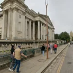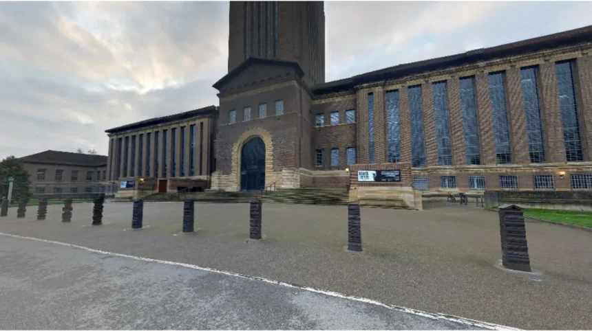
The establishment of Cambridge colleges transformed a compact medieval river port into a compartmentalized academic enclave. Between 1284 and 1596, colleges acquired large adjacent plots of land, blocking public thoroughfares and restricting access to the River Cam permanently.
- Why Did the Colleges Expand Westward Across the River Cam?
- How Do College Properties Limit Modern Transport Infrastructure in Cambridge?
- How Did College Ownership Shape the Distribution of Commercial Zones in Cambridge?
- How Does College Architectural Design Influence the Spatial Flow of the City?
- Why is Cambridge city center so difficult to navigate by car?
- What is “The Backs” and why was it never built on?
- Why are there so few public bridges across the River Cam in central Cambridge?
- How did Cambridge colleges stop industrial factories from being built in the city?
- Why are Cambridge college buildings built around closed quadrangles?
Before the founding of Peterhouse in 1284, Cambridge operated as a bustling Anglo-Saxon and Norman trading hub. The settlement developed around a north-south axis connecting the castle on the high ground north of the river to the commercial market area south of the river. The medieval street network consisted of narrow lanes running perpendicular to the River Cam, allowing merchants and citizens free access to waterborne trade docks known as hythes.
As university colleges expanded during the fourteenth and fifteenth centuries, their administrative bodies systematically purchased town properties, residential lanes, and commercial wharves.
King’s College, founded by King Henry VI in 1441, altered the city center layout by purchasing and demolishing an entire residential quarter, including Milne Street, several churches, and numerous public alleys. This consolidation established massive, closed quadrangular structures with limited public access points, creating physical barriers between town commerce and academic spaces.
The spatial outcome of this academic land acquisition was the permanent division of central Cambridge into isolated academic precincts. The public road network was diverted eastward, creating the modern spine formed by St John’s Street, Trinity Street, King’s Parade, and Trumpington Street.
Public access to the riverfront was reduced from dozens of medieval hythes to a few designated public access points, effectively walling off the western bank of the river for private college grounds.
Why Did the Colleges Expand Westward Across the River Cam?
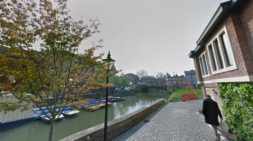
Colleges expanded westward across the River Cam to secure contiguous space for private residential gardens, agricultural land, and grand architectural views, creating the famous green corridor known today as The Backs.
By the sixteenth century, the eastern bank of the River Cam was densely built up with college buildings, churches, and commercial structures, leaving no room for spatial expansion.
Colleges such as Trinity, St John’s, King’s, Queens’, and Clare required additional land for expansion, sports fields, gardens, and food production. The land directly west of the river consisted of low-lying, marshy floodplain meadows, which were traditionally used for common grazing by town residents.
Between the sixteenth and eighteenth centuries, colleges acquired these western marshlands through purchase, land swaps, and parliamentary enclosure acts. To make the land suitable for construction and recreation, colleges engineered drainage networks, constructed stone bridges, and built formal embankments along the river channel.
Trinity College built its library by Sir Christopher Wren facing the river in 1695, setting an architectural trend that turned the college buildings toward private western gardens rather than public city streets.
This westward expansion permanently altered the physical and visual geography of Cambridge. It prevented western urban sprawl from encroaching on the river corridor, preserving a continuous belt of private parkland running parallel to the city center. Today, this landscape configuration limits east-west road traffic across the River Cam to specific municipal bridges, routing modern vehicle traffic around the historic academic core.
How Do College Properties Limit Modern Transport Infrastructure in Cambridge?
College property boundaries create physical choke points that limit vehicle traffic, prevent road widening, and channel modern transport systems through narrow historic corridors originally laid out in the Middle Ages.
The spatial footprint of Cambridge colleges is protected by historic land titles, conservation laws, and listed building designations. Because college estates encompass contiguous blocks of land extending from the central street network to the river, municipal authorities cannot construct new east-west arterial roads through the city center.
The absence of a grid system or wide boulevards forces all public, private, and commercial transit onto medieval street alignments.
The central arterial route of Trinity Street and King’s Parade measures less than ten meters wide at several points, surrounded by stone college walls and historic gatehouses.
Modern transportation planning in Cambridge relies on severe traffic restriction policies, including rising bollards, bus-only zones, and pedestrianized streets, because the physical infrastructure cannot accommodate high volumes of vehicular traffic.
The historic college perimeters make physical expansion of road lanes impossible without destroying grade-I listed architecture.
Consequently, Cambridge has developed an urban transport strategy centered heavily on non-motorized and public transit. The city features the highest rate of cycling commuting in the United Kingdom, supported by dedicated paths that navigate around college perimeters.
Public transport relies on peripheral park-and-ride facilities located outside the historic college boundaries, preserving the inner core from traffic congestion while maintaining the medieval spatial limitations enforced by college landholding patterns.
How Did College Ownership Shape the Distribution of Commercial Zones in Cambridge?
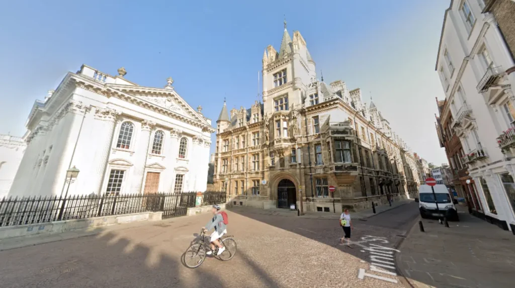
College ownership concentrated commercial activity into specific high-density corridors by retaining ownership of central commercial properties and leasing them under strict land-use covenants.
Cambridge colleges hold extensive real estate portfolios that include commercial shopfronts, office spaces, and residential properties across the city center. Trinity College, St John’s College, and King’s College rank among the largest property owners within the municipal boundary. By retaining fee simple ownership of town land, colleges have historically controlled which types of commercial enterprises can operate in proximity to academic quarters.
Commercial development was historically pushed eastward toward Market Hill, Petty Cury, and Andrew’s Street, where non-academic landholdings were more common.
Properties owned by colleges along streets like Trinity Street and King’s Parade were leased under long-term agreements that restricted industrial activity, noise levels, and high-impact commercial development.
This property management policy prevented early industrial factories from establishing operations in the city core during the Industrial Revolution.
In the modern era, college property management continues to dictate retail patterns in Cambridge. Colleges regularly curate retail tenants on major thoroughfares to prioritize bookshops, cafes, independent retail, and professional services over heavy commercial developments.
This controlled property management model preserved the aesthetic character of the historic center, maintained high land values, and created a distinct spatial segregation between primary retail districts and college administrative domains.
How Does College Architectural Design Influence the Spatial Flow of the City?
College architectural design uses defensive perimeter walls and single-point gatehouses to direct pedestrian traffic exclusively along peripheral streets rather than through internal grounds.
The traditional college building layout follows the monastic collegiate quadrangle model, characterized by external stone walls with few outer windows and small, defensible entrance gates.
Prominent examples such as the Great Gate of St John’s College and the King’s College Gatehouse were constructed to manage access, monitor student movements, and defend college property against town unrest. This closed architectural perimeter turned college campuses into private islands isolated from the surrounding urban grid.
Because college quadrangles are gated and closed to public cross-thoroughfare, pedestrians cannot walk straight through the city center. Pedestrian and vehicular movement is forced to skirt the perimeter walls along narrow public rights-of-way like Senate House Passage, Trinity Lane, and Green Street.
This spatial configuration creates high pedestrian densities along perimeter streets while maintaining quiet, low-density conditions inside the internal courtyards.
In the modern city, this architectural structure dictates urban movement patterns and tourism management. The concentration of tourist traffic along specific perimeter paths, such as King’s Parade, creates micro-congestion zones during peak hours. The contrast between high-density public streets and private college interiors remains one of the defining spatial features of Cambridge’s urban experience.
Why is Cambridge city center so difficult to navigate by car?
The city center follows medieval road layouts that were locked in place by surrounding college properties. Colleges built permanent stone perimeter walls along main roads, preventing municipal authorities from widening streets or building modern grid roads.
What is “The Backs” and why was it never built on?
The Backs is a historic green corridor of private college gardens along the River Cam. Colleges acquired this land between the 16th and 18th centuries to expand their grounds, preventing western urban development from encroaching on the river.
Why are there so few public bridges across the River Cam in central Cambridge?
Colleges purchased the riverfront property and replaced public commercial docks with private grounds. Most bridges in the city center are owned by individual colleges and restricted to private academic use, leaving only a few public road and foot bridges.
How did Cambridge colleges stop industrial factories from being built in the city?
Colleges owned large portions of land in and around the city center and refused to lease land for heavy industrial manufacturing. This restricted industrial developments to outer districts like Chesterton and Romsey, preserving the university core.
Why are Cambridge college buildings built around closed quadrangles?
Colleges adapted monastic architectural patterns with outer defensible walls and gatehouses to control access and protect students. This private design directs all public pedestrian traffic around the outside perimeter of college grounds.