Key Points
- The Met Office says Cambridgeshire faces a chilly weekend with a mix of rain, sleet and possible snow as colder air digs in across eastern England.
- The official Cambridge forecast shows persistent rain on Friday that may briefly turn to snow before clearing, followed by a cold, frosty and brighter Saturday.
- Met Office guidance for the East of England highlights further wintry showers, with low‑level sleet and snow a risk as colder air returns from the north and northeast.
- A UK‑wide yellow warning system remains in place for wintry hazards, with the Met Office warning that snow showers and icy surfaces could lead to some travel disruption in parts of the country.
- In its national outlook, the Met Office says the weekend pattern will be “colder again with potential for lower‑level snow in the northeast”, with wintry precipitation also possible further south where air is cold enough.
- By Sunday morning, separate Met Office‑based mapping reported by Yahoo News suggests heavier snow bands could reach as far south as Cambridge and Milton Keynes before clearing eastwards in the afternoon.
- Computer models remain finely balanced, and small variations in temperature and wind direction could turn potential snow in Cambridgeshire into sleet or cold rain instead.
- The Met Office’s detailed Cambridge forecast points to maximum daytime temperatures of around 6–8C through the period, dropping close to or below freezing overnight, increasing the risk of frost and ice.
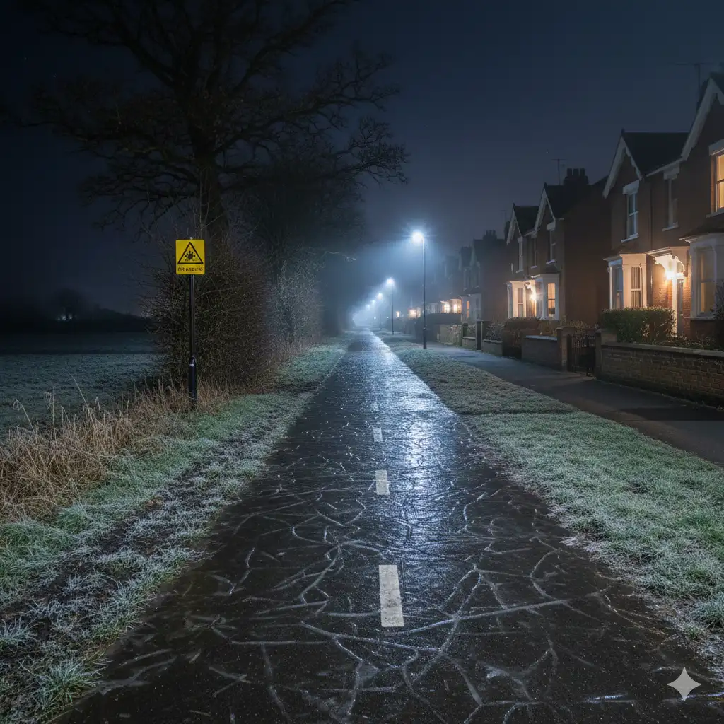
- Frosty conditions late Friday into Saturday and again overnight into Sunday could leave untreated roads, pavements and cycle paths slippery, particularly where rain or sleet has fallen earlier.
- A Met Office video forecast for Thursday and the weekend speaks of “risk of snow showers” as weather fronts meet colder air, with sleet and snow mixing into bands of rain at times.
- Nationally, the Met Office says this week’s pattern is a “familiar” one, bringing further spells of rain, hill snow and chilly winds, especially across northern and eastern areas, with the colder air re‑establishing itself into the weekend.
- Earlier this winter, Cambridgeshire experienced a yellow warning for snow and ice, underlining the county’s vulnerability when cold Arctic air interacts with Atlantic systems.
- Public health officials have previously warned that cold snaps can raise the risks of heart attacks, strokes and respiratory illness for older and vulnerable residents, urging people to look out for neighbours.
- Residents are being advised to monitor local Met Office warnings, plan extra time for journeys and be prepared for rapidly changing conditions between rain, sleet and snow over relatively short distances.
Cambridge (Cambridge Tribune) February 13, 2026 – Cambridgeshire is braced for a chilly, changeable weekend as the Met Office forecasts a shifting mix of rain, sleet and possible snow, with forecasters warning that subtle changes in temperature and wind could make the difference between wintry showers and merely cold rain across the county.
- Key Points
- How cold and wintry is the Met Office expecting the weekend to be?
- Where in Cambridgeshire and nearby areas could see snow?
- What do Met Office warnings say about snow and ice risk?
- How does the detailed Cambridge forecast describe the weekend?
- Why is there uncertainty between rain, sleet and snow in Cambridgeshire?
- Have there been recent snow and cold weather alerts in Cambridgeshire this winter?
- What advice is being given to residents, travellers and vulnerable people?
- How does this weekend fit into the wider winter weather pattern?
- What should people in Cambridgeshire watch for over the coming days?
How cold and wintry is the Met Office expecting the weekend to be?
As set out by forecasters at the Met Office in their Cambridge‑area forecast, early brightness will give way to thickening cloud from the north, with bands of rain pushing south and east through Friday before some of that rain “may turn briefly to snow before clearing in the evening”. According to the same forecast, maximum temperatures around Cambridge are expected to reach about 6C on Friday, with overnight values dropping to around 2C, before turning “cold and frosty, but drier and brighter” on Saturday, ahead of another spell of cloud, rain and possible snow early on Sunday.
In a broader national blog, Met Office meteorologists describe this week as a “familiar” pattern of further rain, hill snow and chilly winds, particularly for northern and eastern parts of the UK, adding that low pressure systems and colder air will again combine to bring wintry hazards into the weekend. That assessment notes that by Friday “low pressure to the southwest strengthens once again, feeding further showers and spells of rain”, with colder air filtering back in to produce “a mix of rain and sleet at lower levels, along with hill snow”, conditions that can extend into eastern England when air masses align.
Where in Cambridgeshire and nearby areas could see snow?
As referenced by forecasters at the Met Office in their blog on the week ahead, the colder air arriving through the weekend “increases the chance of snow at lower levels, especially across northeastern parts of the country”, though hill snow remains the more likely outcome in many places. While Cambridgeshire sits away from the highest ground, the same frontal systems can still deliver bursts of sleet or wet snow where precipitation coincides with colder air over the Fens and surrounding lowlands.
Digital mapping based on Met Office data and highlighted by journalist‑curated coverage on Yahoo News suggests that by around 9am on Sunday a band of heavier snow could extend as far south as Cambridge and Milton Keynes, before gradually clearing eastwards and offshore by about 3pm. As reported by the unnamed Yahoo News reporter in that piece, the forecaster emphasises that small shifts in wind direction or temperature could still flip that snow band into sleet or rain, underlining that the risk is present but not guaranteed for any one town or village.
What do Met Office warnings say about snow and ice risk?
In its national warnings and advice pages, the Met Office states that “snow showers and icy roads could lead to some travel disruption” under current yellow warning criteria, warning that outbreaks of rain, sleet and snow are “likely to lead to icy surfaces” in some areas as temperatures fall below freezing. Further detailed text on the same page notes that wintry showers may yield 1–2cm of snow at low levels in places by Friday morning, with higher accumulations possible above 300 metres, alongside an additional advisory that showers of snow and hail on Friday afternoon and evening could again lead to icy patches on untreated surfaces.
Although those written warning examples are focused on parts of the UK with more high ground, the guidance also refers to a band of rain and sleet “with a little snow on hills” clearing southwards across England and Wales during Friday night, followed by ice risks as skies clear and temperatures drop below freezing. For lower‑lying areas such as Cambridgeshire, this combination of wet surfaces from earlier rain or sleet and sub‑zero overnight temperatures is the main driver of icy pavements, cycle lanes and minor roads rather than deep snow accumulation.
How does the detailed Cambridge forecast describe the weekend?
In the specific Cambridge forecast page, Met Office forecasters say that after a spell of early brightness, Friday will become “increasingly cloudy, with some outbreaks of rain” as thick cloud moves down from the north, with southern and eastern districts staying drier the longest before rain becomes more widespread. Later on Friday, the same forecast notes that it will remain cloudy with “bands of rain moving south and east through the evening and overnight, with some drier intervals in between”, and that on Saturday conditions will turn “cold and frosty, but drier and brighter” with lighter winds than in recent days.
Into Sunday, the Cambridge outlook describes “cloudy with rain, possible snow and strong winds early Sunday, brighter later”, encapsulating the uncertainty about whether the air mass will be quite cold enough over the city itself to support falling snow rather than just cold rain or sleet. This aligns with the national narrative from Met Office meteorologists that the weekend will see “lots going on”, including further wet weather coming in on Saturday night with “some snow mixed in again, mostly over the hills before things turn milder” into Sunday.
Why is there uncertainty between rain, sleet and snow in Cambridgeshire?
As explained by Met Office meteorologists in their week‑ahead blog, forecast confidence begins to reduce by Thursday as computer models diverge on the finer details, with high pressure over Scandinavia maintaining cold conditions to the northeast but small shifts in the position of frontal systems and the exact track of low pressure affecting who sees rain, sleet or snow. They highlight that the most likely outcome for many areas is a drier and brighter day in the south and southwest, but that “eastern and northeastern areas are expected to see further rain and sleet showers”, with colder air in place such that some of that precipitation could briefly turn wintry.
In the Yahoo News piece interpreting Met Office maps, the reporter notes that the forecaster stresses how “small variations in things like temperature or wind direction can change the forecast from snow to sleet or rain”, particularly along the southern edge of any snow band. For Cambridgeshire, which often lies close to such boundary zones between air masses, that means residents might experience anything from a short‑lived spell of wet snow to a cold, soaking rain, sometimes varying markedly over only a few miles.
Have there been recent snow and cold weather alerts in Cambridgeshire this winter?
As previously covered by Yahoo News from Met Office material in early January, a 15‑hour yellow warning for snow and ice was issued that included large swathes of Cambridgeshire, with the alert running from 8pm on a Sunday to 11am on the Monday and covering cities such as Huntingdon and Peterborough. In that earlier episode, residents were told to expect potential disruption to road and rail journeys and to be wary of icy conditions on untreated roads, pavements and cycle paths as temperatures stayed low and “ample winter sunshine” alternated with “some snow showers” and “occasional wintry showers”.
The same January coverage quoted the Met Office’s East of England forecast saying that much of a coming Tuesday would be “bright but chilly”, with rain and possibly snow arriving overnight, followed by further rain and snow into Thursday, underlining how repeated pushes of cold air and Atlantic systems can bring successive wintry episodes. That earlier spell coincided with an amber cold‑health alert, with UK Health Security Agency official Dr Agostinho Sousa warning that predicted temperatures could “significantly affect the health of certain individuals, raising the risk of heart attacks, strokes, and respiratory infections, especially for those over 65 and those with existing health issues”.
What advice is being given to residents, travellers and vulnerable people?
In its national warning guidance, the Met Office urges people to “keep yourself and your family safe when it is icy”, advising that travellers should plan to leave home at least five minutes earlier than usual so they do not have to rush, reducing the risk of slips, trips and falls on frozen surfaces. The same advice stresses the importance of being aware that wintry showers can be highly localised, meaning that while some areas pick up a “slight covering of snow” on high ground, others nearby may see sleet or simply cold rain, but all may face icy patches if temperatures fall below freezing overnight.
Public health messages issued around the earlier January cold alert remain relevant, with Dr Sousa of UKHSA urging people to check on friends, relatives and neighbours who may be particularly vulnerable to cold weather, especially older adults and those with pre‑existing heart or respiratory conditions. For Cambridgeshire residents, that may mean ensuring that heating is used effectively, that outdoor journeys are only made when necessary during the frostiest periods, and that footwear and cycling equipment are suited to potentially slippery pavements and roads as the weekend’s rain, sleet and possible snow pass through.

How does this weekend fit into the wider winter weather pattern?
In its wider discussion of the week ahead, the Met Office notes that “this week follows the same theme, bringing further spells of rain, hill snow, and chilly winds, particularly across northern and eastern areas”, describing an unsettled pattern that has persisted through much of the winter so far. The blog adds that while some southern and southwestern areas may see drier and brighter interludes as high pressure to the northeast influences the flow, low pressure systems will continue to bring wet and windy conditions at times, with colder interludes allowing for snow on hills and, occasionally, at lower levels.
A separate Met Office video forecast for 12 February, introduced on the official YouTube channel, talks of a continuing “risk of snow showers” as wet weather moves south and colder air follows, stating that “most of the wet weather will be rain, but some sleet and snow mixed in” as we go through the period before “more wet weather comes in through Saturday night” with snow “mostly over the hills” before conditions turn milder again. For Cambridgeshire, this places the county in a familiar position on the battleground between maritime air from the Atlantic and colder continental or Arctic influences, where short‑lived snow chances can arise even in what remains, overall, a predominantly wet and windy winter.
What should people in Cambridgeshire watch for over the coming days?
Looking ahead to the weekend, residents are being encouraged to keep a close eye on updated Met Office forecasts for Cambridge and surrounding districts, as the precise timing and nature of any wintry precipitation could shift as new data arrive. Commuters and weekend travellers are advised to check for any fresh warnings on the Met Office’s UK warnings page and to allow extra time for journeys on potentially icy mornings, especially on rural routes and less‑treated residential streets across Cambridgeshire’s towns and villages.
While significant disruptive snowfall currently appears more likely in parts of northern and northeastern Britain, the combination of chilly temperatures, bands of rain and embedded sleet or snow means that Cambridgeshire could still wake up to wintry scenes in places, even if accumulations are modest and short‑lived. As the Yahoo News interpretation of Met Office snow maps underscores, small movements in that snow band will determine whether Cambridge sees proper flakes on Sunday morning or another spell of cold rain, making local observations and real‑time updates especially important for those planning outdoor events or travel.