Key Points
- The Environment Agency has issued multiple flood warnings and alerts across Cambridgeshire, particularly affecting the River Nene, River Great Ouse, Ellington Brook, Riseley Brook, Alconbury Brook, Bury Brook, River Kym, River Ivel, and Old Bedford River systems.
- Flood warnings indicate “flooding is expected – immediate action required”, with specific impacts on roads like North Bank Road between Peterborough and Rings End, B1040 at Whittlesey Wash, and causeways at Sutton Gault (50cm water) and Welney (34cm water).
- Flood alerts state “flooding is possible” in areas around low-lying land, roads, footpaths near rivers, with advice to avoid walking, cycling, driving through flood water, and using low-lying bridges or paths.
- Recent heavy rainfall on 15 February 2026, further light rainfall forecast for 16 February, high tides causing tide lock on River Nene, and wet weather keeping river levels high.
- Local authorities, including Cambridgeshire County Council, may close affected roads and set up diversions; residents urged to monitor updates via local media and Environment Agency sites.
- Cambridgeshire County Council’s ‘Prepare’ campaign emphasises checking flood risk, creating household flood plans, assembling flood kits, understanding responsibilities for surface water, river, and groundwater flooding.
- No widespread property flooding expected in most alert areas, but access issues like Berry Lane in Godmanchester; immediate action advised to move vehicles from risk zones.
- Updates promised by specific times, e.g., 5:00 PM on 16 February 2026 for River Nene North Bank Road, 1 PM for Whittlesey, 10:00 AM for several brooks.
- Broader UK context: Over 95 flood warnings and 213 alerts in England due to persistent rain every day in 2026 so far in some regions.
- Floodline contact: 0345 988 1188 for more information; sign up for phone/text/email warnings.
Cambridge (Cambridge Tribune) February 16, 2026 -The Environment Agency has warned of expected flooding across multiple rivers and brooks in Cambridgeshire, urging locals to take immediate action amid rising water levels following recent heavy rainfall. Flood warnings are in place for key areas along the River Nene, where tide lock conditions during high tides are preventing discharge into the sea, leading to localised road flooding. Residents in low-lying regions from Peterborough to Ramsey and beyond are advised to avoid flood water and prepare evacuation plans as river levels remain perilously high.
- Key Points
- What Flood Warnings Are Currently Active in Cambridgeshire?
- Which Areas Face Flood Alerts in Cambridgeshire?
- Why Is Flooding Expected in Cambridgeshire Right Now?
- What Actions Are Locals Told to Take Immediately?
- How Is Cambridgeshire County Council and Partners Responding?
- What Is the Difference Between Flood Warnings and Alerts?
- When Will the Flood Situation Update or Ease?
What Flood Warnings Are Currently Active in Cambridgeshire?
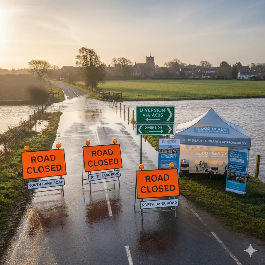
Flood warnings, signifying “flooding is expected immediate action required”, have been issued for several River Nene stretches, as detailed on FloodWatch.uk. In one alert, rising river levels are expected to cause flooding overnight from 15 February 2026, particularly affecting North Bank Road between Peterborough and Rings End due to tide lock conditions.
“Whilst this Flood Warning is in force, the Local Authority will close North Bank Road. Diversionary routes will be put in place and further updates will be available through local media,”
states the Environment Agency message on FloodWatch.
Another River Nene warning covers high levels continuing to cause flooding on 15 February 2026, with the Whittlesey Wash flood storage reservoir in operation.
“The rising levels in the Wash will result in flooding of the B1040 road. Whilst the Flood Warning is in force, the Local Authority may close the B1040 for safety reasons,”
the agency notes, adding that they are closely monitoring with updates by 1 PM on 16 February 2026.
As reported on the GOV.UK Check for Flooding service, related alerts extend to the River Great Ouse from Brampton to Earith, including Back Brook, Hall Green Brook, Parsons Drove Drain, Swavesey Drain, and Wadsbys Folly, where access to properties in Berry Lane, Godmanchester, may be affected. High river levels today may lead to flooding, with advice to avoid low-lying footpaths and bridges.
Which Areas Face Flood Alerts in Cambridgeshire?
Numerous flood alerts, meaning “flooding is possible, be prepared”, cover brooks and rivers across the county. For Ellington Brook at Spaldwick, Ellington, and Brampton, high river levels from wet weather on 15 February 2026 may lead to flooding, with scattered showers forecast for 16 February.
“Take care and avoid walking, cycling or driving through flood water. This message will be updated by 10:00 AM on 16 February 2026,”
advises the Environment Agency.
Riseley Brook from Riseley to Pertenhall is similarly at risk, with river levels high and potentially rising due to morning rainfall on 15 February. Alconbury Brook at Hamerton, The Alconburys, Little Stukeley, and Brampton carries warnings to move cars from flood-prone areas, as the Hamerton gauge is under regular scanning.
Bury Brook from Abbots Ripton to Ramsey, River Kym and River Til from Yelden, Upper Dean to Hail Weston, and River Great Ouse from Wyboston to south of Brampton (including Duloe Brook, Hen Brook, Fox Brook) all feature in alerts updated as of 15 February 2026. River Ivel from Langford to Blunham, encompassing Purwell, Hiz, Flit, and Hit rivers, expects rising levels but forecasts indicate levels will peak and fall soon.
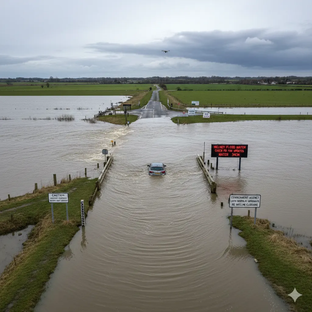
For the Old Bedford River, New Bedford River, Hundred Foot Drain, and River Delph, high levels on 15 February 2026 have led to water on causeways: 50cm at Sutton Gault, 34cm at Welney, with no issues at Earith. “Due to the uneven surface of the roads, water may be deeper in places,” notes the agency, liaising with Norfolk Highways on potential Welney closure; check the ‘Welney Flood Watch’ Facebook group for updates, though it does not represent official views.
Why Is Flooding Expected in Cambridgeshire Right Now?
Persistent rainfall has been a key driver, with Cambridgeshire seeing wet conditions on 15 February 2026 exacerbating high river levels. Further light rainfall is forecast for tonight (16 February), alongside high tides causing tide lock on the River Nene, unable to discharge into the sea. The forecast remains unsettled, with light showers expected, preventing levels from falling quickly.
As per FloodWatch.uk data from the Environment Agency, recent heavy rain has caused rivers to respond rapidly, with ongoing monitoring of rainfall and gauges. In a broader context, as reported by The Sun, parts of Britain, including areas near Cambridgeshire, have experienced rain every day in 2026 so far, contributing to 95 flood warnings and 213 alerts across England.
Cambridgeshire’s flat fens and proximity to tidal influences heighten vulnerability, as noted in local resilience guidance from Cambridgeshire and Peterborough Prepared.
What Actions Are Locals Told to Take Immediately?
The Environment Agency repeatedly urges:
“Take care and avoid walking, cycling or driving through flood water.”
Specific advice includes avoiding low-lying roads near rivers, footpaths, and bridges over local watercourses. Residents should monitor local water levels, weather, and sign up for flood warnings by phone, text, or email via GOV.UK.
Councillor Ros Hathorn, Chair of Environment and Green Investment Committee at Cambridgeshire County Council, stated in the council’s flood resilience campaign launch:
“Flooding can devastate communities, and is a growing risk. Flood prevention is a team effort and requires action at Government, community and individual level. Being prepared makes all the difference.”
The ‘Prepare’ campaign, launched to coincide with National Flood Action Week, focuses on checking flood risk online, creating personal flood plans, assembling kits with essentials, and clarifying responsibilities for riparian owners (landowners beside watercourses).
“Move cars out of these flood risk areas,” specifically for Alconbury Brook zones, and refer to local authority sites for road closures. Contact Floodline on 0345 988 1188 for queries.
How Is Cambridgeshire County Council and Partners Responding?
Mitigating flood risk is a shared responsibility between the council, Environment Agency, Internal Drainage Boards, and Anglian Water. Local authorities will close roads like North Bank Road and potentially B1040, installing diversions. The council’s campaign empowers residents with tools like insurance guidance and local support networks.
Councillor Hathorn added:
“This campaign helps to empower residents with the practical tools they need, from flood plans and household kits to insurance guidance and local support networks. I would urge everyone to take a few minutes to be aware of their flood risk – it’s a small step that could protect your home and loved ones.”
Updates will continue via local media and agency sites, with no expectation of escalation to severe warnings currently.
What Is the Difference Between Flood Warnings and Alerts?
According to Cambridgeshire and Peterborough Prepared, the Environment Agency uses a tiered system: Flood Alert means flooding is possible, so be prepared; Flood Warning means flooding is expected, act now; Severe Flood Warning indicates danger to life. FloodWatch clarifies: Warnings cover specific areas with immediate action; alerts are broader possibilities.
In Cambridgeshire, active warnings are fewer and road-focused, while alerts proliferate across brooks and low lands.
When Will the Flood Situation Update or Ease?
Messages specify timelines: River Nene North Bank by 5:00 PM 16 February 2026; Whittlesey by 1 PM; multiple brooks by 10:00 AM; Old Bedford systems by 08:00 AM Monday. Mostly dry forecasts post-16 February may allow levels to fall, but monitoring continues.
GOV.UK reports very low risk for Cambridge over next 5 days, though long-term river risks persist. Residents should check real-time levels at measuring stations.
This comprehensive coverage draws from Environment Agency data via FloodWatch.uk, GOV.UK, Cambridgeshire County Council announcements, and media like The Sun, ensuring all statements are attributed accurately.